A LIVING FIELD REPOSITORYOPEN ACCESS

The Two Waters Field Guide.

A growing visual repository of the places, people and stories that shape Point Pleasant and the Ohio–Kanawha Valley.

Browse the guide
No sign-inSearchableBuilt to grow

Field guide repository

Choose a trail.
Follow what catches your eye.

All entries open
8 field entries

Two Waters Tour Topics

Stories you can step into.

Places and subjects connected directly to current Two Waters experiences in and around Point Pleasant.

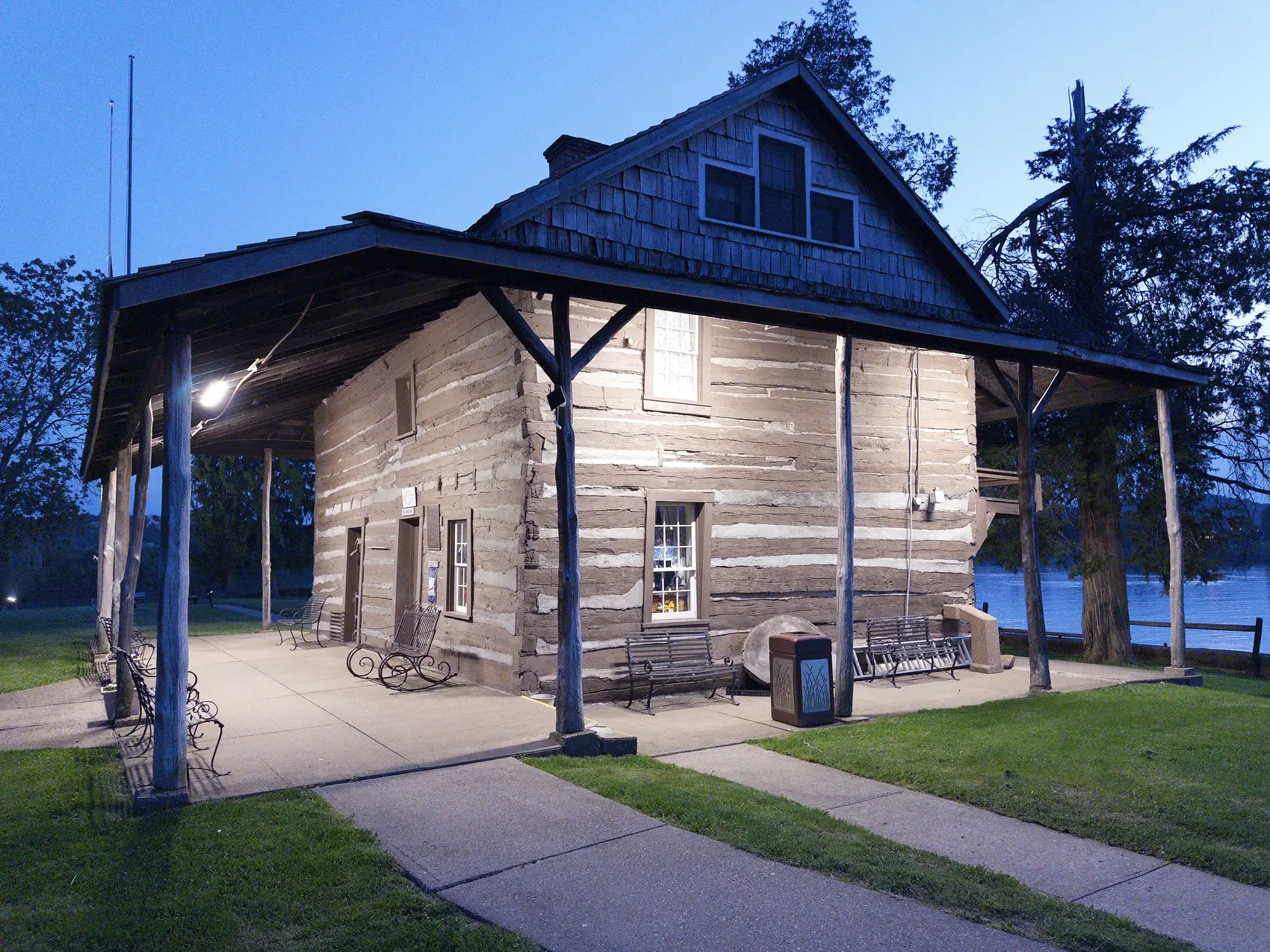
The historic Mansion House at Tu-Endie-Wei State ParkFrontier & River
The confluence

Tu-Endie-Wei & the Mansion House

Begin where the Ohio and Kanawha meet: a compact landscape carrying centuries of trade, conflict, settlement and memory.

Quick factThe Mansion House was built in 1796 and later became a museum of regional history.
See it on the Point Pleasant tour
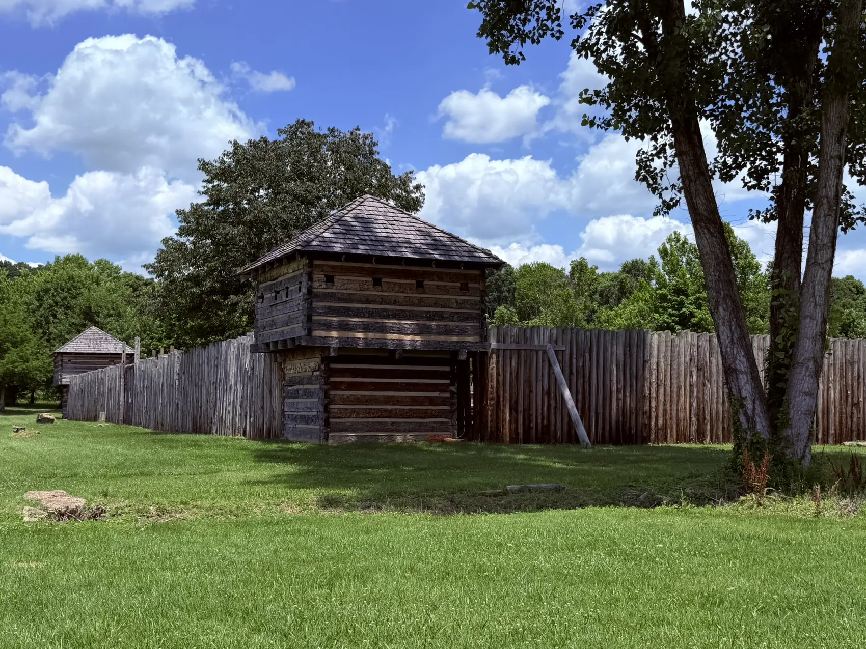
The reconstructed Fort Randolph beneath a summer skyFrontier & River
Krodel Park

Fort Randolph

A reconstruction that makes the scale, enclosure and vulnerability of a frontier fort tangible in a way a roadside marker cannot.

Quick factThe present fort is a modern reconstruction at Krodel Park, about a mile from the original fort's location.
See it on the Point Pleasant tour
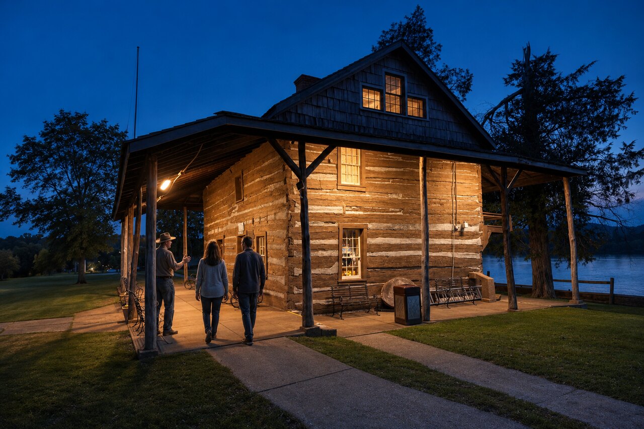
Visitors walking beside the historic Mansion House in Point PleasantTown & Memory
Downtown Point Pleasant

Point Pleasant Historic Core

A compact route through the public art, commercial core and river-facing landmarks that shape the town visitors meet today.

Quick factThe floodwall and Main Street function as two parallel timelines—one curated, one still evolving.
Walk it with Two Waters
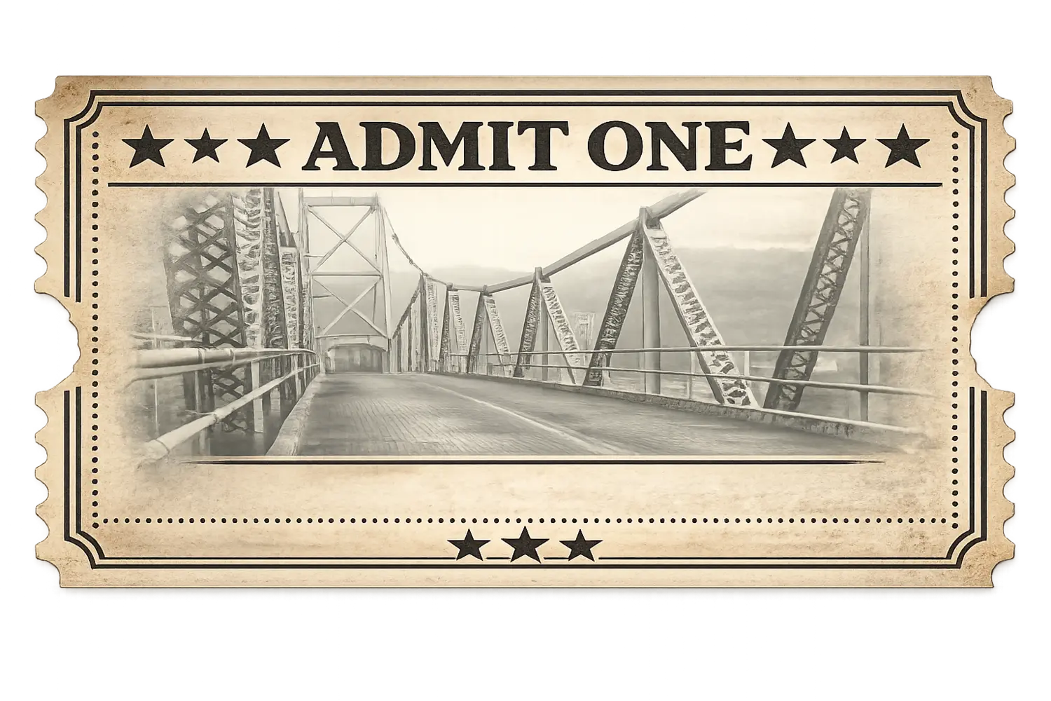
Vintage-style field ticket depicting the Silver BridgeIndustry & Aftermath
Ohio River · Point Pleasant

The Silver Bridge

The documented failure, the lives caught within it and the boundary between the historical record and the folklore that followed.

Quick factThe bridge collapsed during evening traffic on December 15, 1967.
Hear the documented story
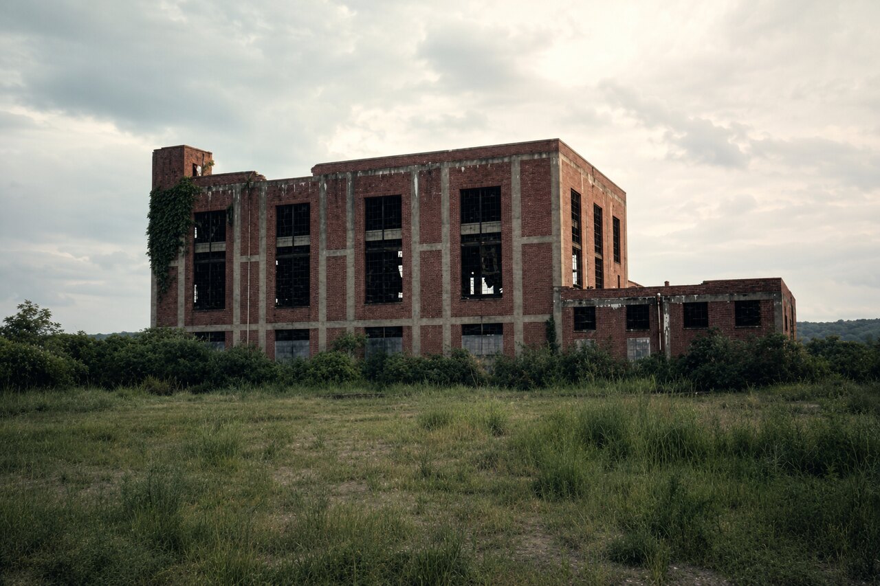
The former powerhouse at the West Virginia Ordnance WorksWartime Industry
North of Point Pleasant

West Virginia Ordnance Works

A vast wartime production landscape whose roads, structures and engineered water features still shape Mason County.

Quick factThe World War II complex covered thousands of acres and functioned like an industrial city.
Explore the Ordnance Works tour
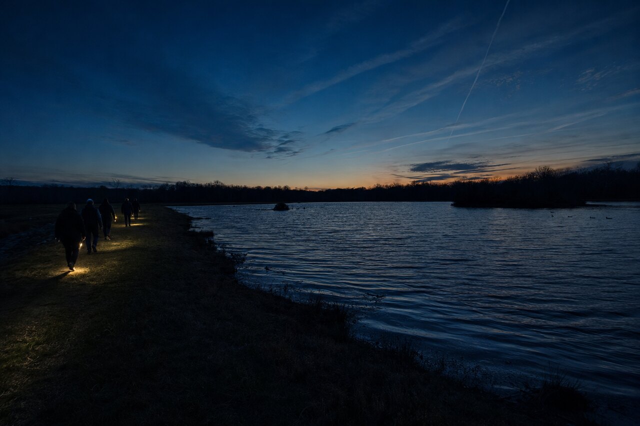
A night walk beside a pond at McClinticFolklore & Fieldwork
The TNT area

McClintic After Dark

History, ecology and modern folklore meet after daylight lets go—without jump scares or manufactured mythology.

Quick factThe area's famous reputation overlays a much older wartime and ecological landscape.
Meet the McClintic Night Hike

Beyond Point

The wider river country.

Field notes from the industrial, institutional and unusual landscapes beyond downtown Point Pleasant.

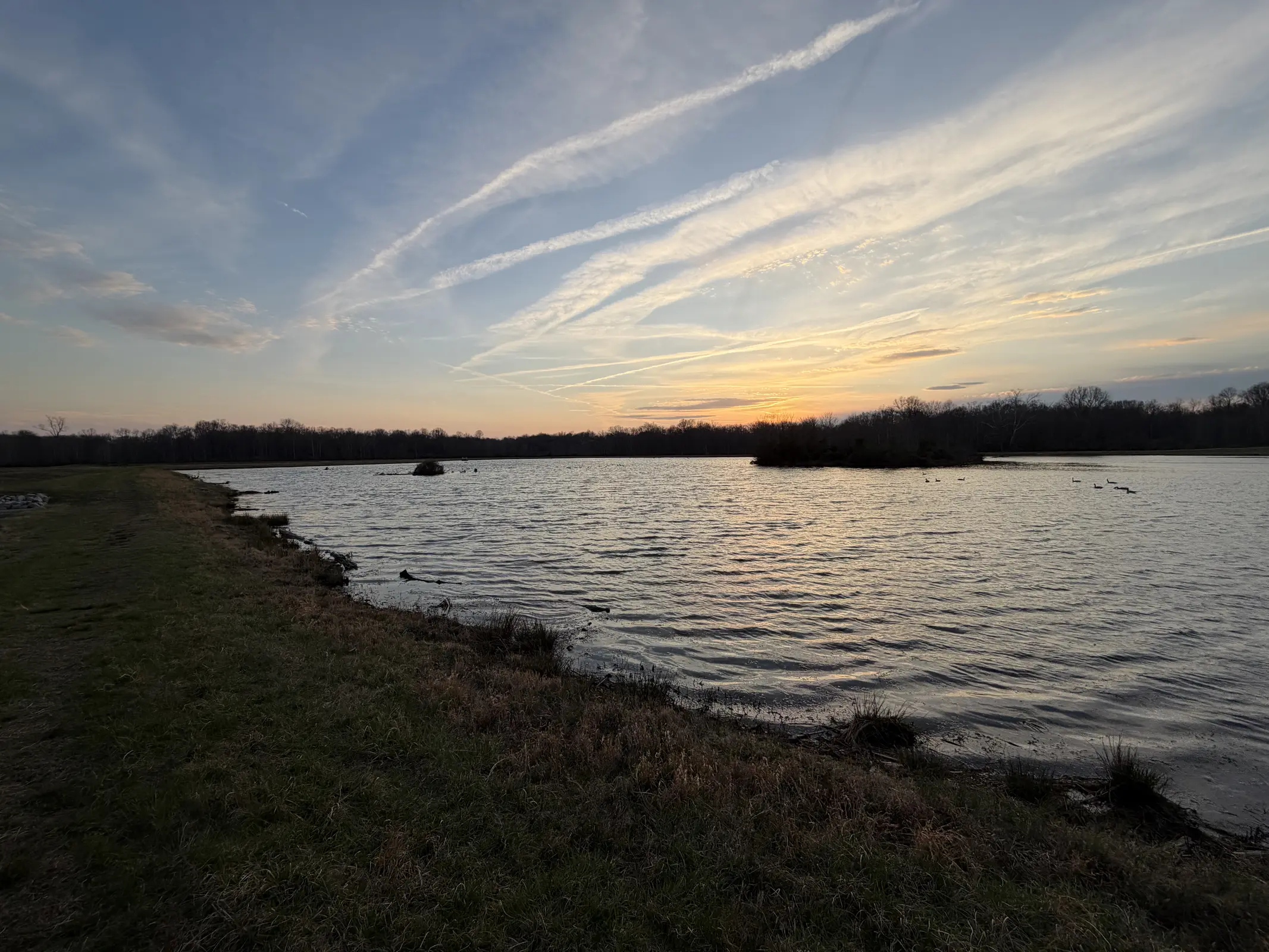
Sunset over a pond at McClintic Wildlife Management AreaLandscape & Aftermath
McClintic Wildlife Management Area

McClintic: Reading the Landscape

Wildlife habitat and wartime infrastructure occupy the same ground, creating a landscape that looks natural until its repeated shapes appear.

Quick factMany of McClintic's ponds, roads and clearings retain the geometry of wartime use.
Trace the wartime landscape
Two Waters field guide badge marking an entry in developmentInstitutions & Memory
Lakin · Mason County

Lakin: Institution, Community, Record

A careful look at the institutions at Lakin, the people who lived and worked there and the stories later attached to the site.

Quick factLakin's history cannot be reduced to one building—or to the legends attached to its ruins.
Future Two Waters routeComing soon

Take the repository into the field

Keep the guide for the road.

Save the current entries and essential images on this device for stretches where service is unreliable.

Stores on this device only · updates when you reconnect

For readers who want to go deeper

The guide opens the door.
The archive is still growing.

Future Mingled Waters Codex volumes will gather the deeper research: documents, timelines, conflicting accounts, field maps and the evidence trails behind the stories.